<--- Back to Details
| First Page | Document Content | |
|---|---|---|
 Date: 2014-01-22 18:21:00Sacramento River Sacramento metropolitan area Sacramento California California Department of Transportation Downtown Sacramento U.S. Route 99 Interstate 80 United States Geography of California California Bridges |
Add to Reading List |
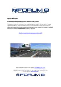 | I-80 ICM Project Interstate 80 Integrated Corridor Mobility (ICM) Project This project will implement ramp metering and incident management along the I-80 from the San FranciscoOakland Bay Bridge Toll Plaza in Alameda CoDocID: 1vqLG - View Document |
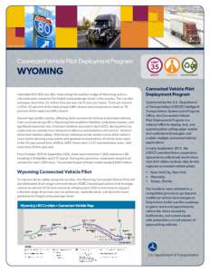 | Photo Source: USDOT Connected Vehicle Pilot Deployment Program: WYOMING Interstate 80 (I-80) runs 402 miles along the southern edge of Wyoming and is aDocID: 1uF00 - View Document |
 | Circle-text-path-logo_CMYKDocID: 1rryd - View Document |
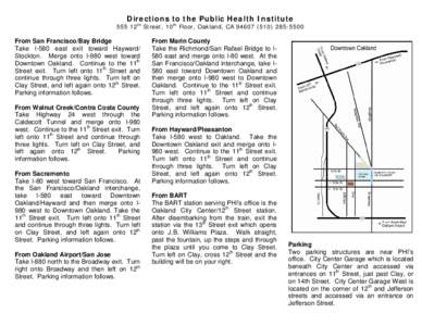 | Microsoft Word - Directions to the PHI new2.docDocID: 1rlmx - View Document |
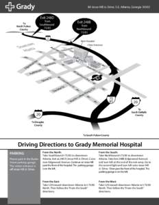 | 80 Jesse Hill Jr. Drive, S.E. Atlanta, GeorgiaExit 248D from SouthboundDocID: 1rjmN - View Document |
 Date: District: Contact: January 23, 2014 #[removed]District 3 - Marysville, www.dot.ca.gov/dist3