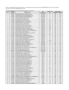
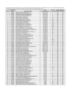
 Date: 2016-02-02 10:23:35Geography of Pennsylvania Geography of the United States American Heritage Rivers Allegheny Plateau Susquehanna River Potomac River Tunkhannock Creek Pine Creek Cacapon River Wills Creek Octoraro Creek | |  Table 2. Chesapeake Bay nontidal monitoring stations. Load computations performed at all stations with a START DATE prior toTrend computations performed at all stations with START DATE prior toBold station Table 2. Chesapeake Bay nontidal monitoring stations. Load computations performed at all stations with a START DATE prior toTrend computations performed at all stations with START DATE prior toBold station
Add to Reading ListSource URL: cbrim.er.usgs.govDownload Document from Source Website File Size: 82,80 KBShare Document on Facebook
|


 Table 2. Chesapeake Bay nontidal monitoring stations. Load computations performed at all stations with a START DATE prior toTrend computations performed at all stations with START DATE prior toBold station