<--- Back to Details
First PageDocument Content
Sandy Creek / Geography of Pennsylvania / Tionesta Creek / Allegheny River
Date: 2010-07-12 15:38:27
Sandy Creek
Geography of Pennsylvania
Tionesta Creek
Allegheny River

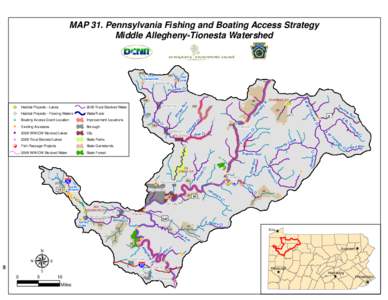
Microsoft Word - Chapter 4 with page numbers without Map 21 and HUC watershed maps and tables 5-55

Add to Reading List

Source URL: fishandboat.com

Download Document from Source Website

File Size: 1,49 MB

Share Document on Facebook

Similar Documents

U.S. Department of the Interior U.S. Geological Survey Water Resources Data Pennsylvania Water Year 2002

U.S. Department of the Interior U.S. Geological Survey Water Resources Data Pennsylvania Water Year 2002

DocID: 1rmJQ - View Document

U.S. Department of the Interior U.S. Geological Survey Water Resources Data Pennsylvania Water Year 2005

U.S. Department of the Interior U.S. Geological Survey Water Resources Data Pennsylvania Water Year 2005

DocID: 1r8L8 - View Document

Table 2. Chesapeake Bay nontidal monitoring stations. Load computations performed at all stations with a START DATE prior toTrend computations performed at all stations with START DATE prior toBold station

Table 2. Chesapeake Bay nontidal monitoring stations. Load computations performed at all stations with a START DATE prior toTrend computations performed at all stations with START DATE prior toBold station

DocID: 1qWd2 - View Document

4 Day Sample Itinerary featuring NRAO, Cass Scenic Railroad, and Snowshoe Mountain Resort Day 1 3:00 p.m. Check into The Inn at Snowshoe offering standard double units located at the base of Snowshoe Mountain.

4 Day Sample Itinerary featuring NRAO, Cass Scenic Railroad, and Snowshoe Mountain Resort Day 1 3:00 p.m. Check into The Inn at Snowshoe offering standard double units located at the base of Snowshoe Mountain.

DocID: 1qK5J - View Document

photo-Brian Ferry  by Nevin Welte and Jordan Allison Three hundred years ago, the turbid waters of Conewango Creek flowed through present-day Warren County serving as a corridor to the Great Lakes region for Native Ameri

photo-Brian Ferry by Nevin Welte and Jordan Allison Three hundred years ago, the turbid waters of Conewango Creek flowed through present-day Warren County serving as a corridor to the Great Lakes region for Native Ameri

DocID: 1qrjV - View Document