 Date: 2016-03-17 22:25:59
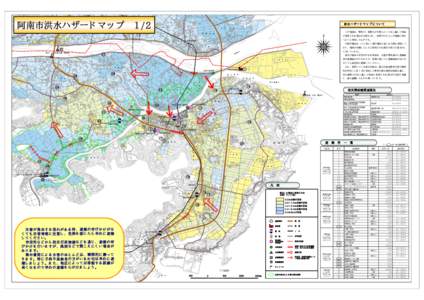
| |  阿南市洪水ハザードマップ 1/2 洪水ハザードマップについて この地図は,那賀川・桑野川が大雨によってはん濫した場合 に想定される浸水の状況を示し,住民 阿南市洪水ハザードマップ 1/2 洪水ハザードマップについて この地図は,那賀川・桑野川が大雨によってはん濫した場合 に想定される浸水の状況を示し,住民
Document is deleted from original location.
Use the Download Button below to download from the Web Archive.Download Document from Web Archive File Size: 2,39 MB |