<--- Back to Details
| First Page | Document Content | |
|---|---|---|
 Date: 2012-04-15 15:19:03Seismic hazard Earthquake Subduction Hope Fault Hazard map Kermadec-Tonga Subduction Zone Geology Plate tectonics Seismology |
Add to Reading List |
 | DOGAMI Interpretive Map 57, Landslide Hazard and Risk Study of Central and Western Multnomah County, Oregon; Appendix C: Hazus Analysis Run ResultsDocID: 1uz28 - View Document |
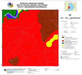 | # I N D E X DETAILED LANDSLIDE HAZARD MAP OF AGLIPAY, QUIRINO, PHILIPPINESDocID: 1s727 - View Document |
 | Page 1 June 2010 ASSOCIATION OF ENVIRONMENTAL & ENGINEERING GEOLOGISTS Southern California SectionDocID: 1roAU - View Document |
 | City of Kerkhoven Flood Plain Management OrdinanceDocID: 1r7fY - View Document |
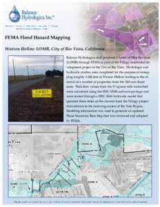 | FEMA Flood Hazard Mapping Watson Hollow LOMR, City of Rio Vista, California Balance Hydrologics staff prepared a Letter of Map Revision (LOMR) through FEMA as part of the Trilogy residential development project in the CiDocID: 1r3OQ - View Document |
 New National Seismic Hazard Model for New Zealand: Changes to Estimated Long-Term Hazard M.W. Stirling, G. H. McVerry, & M. Gerstenberger GNS Science, Lower Hutt, New Zealand.