<--- Back to Details
| First Page | Document Content | |
|---|---|---|
 Date: 2014-11-05 23:43:39Geography of Australia Girringun National Park Blencoe Falls Hinchinbrook Island Protected areas of Queensland Murray Falls Herbert River Goold Island National Park Far North Queensland Geography of Queensland States and territories of Australia |
Add to Reading List |
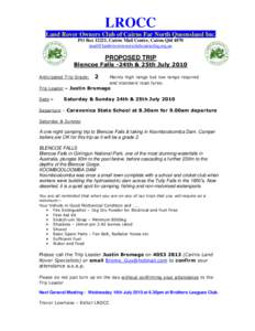 | LROCC Land Rover Owners Club of Cairns Far North Queensland Inc. PO Box 12221, Cairns Mail Centre, Cairns QldPROPOSED TRIPDocID: 18waT - View Document |
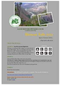 | LAND ROVER OWNERS CLUB CAIRNS AND FNQ Blencoe Falls 2012 Queens Diamond Jubilee 3 Daystill)DocID: 181t0 - View Document |
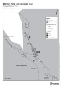 | Blencoe Falls camping area map, Girringun National ParkDocID: 14pZU - View Document |
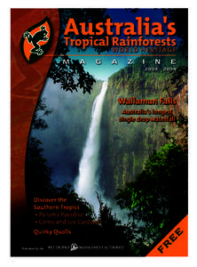 | WTMA_Mag_2003_16ppPublished by theDocID: 14g6T - View Document |
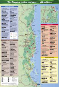 | Nevins Plain Wet Tropics visitor centres and attractions Olive Vale LauraDocID: 13Nsw - View Document |
 Girringun National Park and surrounds map