<--- Back to Details
| First Page | Document Content | |
|---|---|---|
 Date: 2014-12-02 23:45:14States and territories of Australia Babinda Queensland Mount Bellenden Ker Bramston Beach Queensland Cairns Yarrabah Queensland Gordonvale Queensland Shire of Mulgrave Cairns Region Far North Queensland Geography of Australia Geography of Queensland |
Add to Reading List |
 | PDF DocumentDocID: 17sO1 - View Document |
 | PDF DocumentDocID: 179Fw - View Document |
 | ALOOMBA ALOOMBA FISHERY FALLS FALLS FISHERYDocID: 12Zkz - View Document |
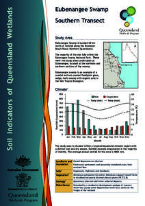
 | Southern Transect Study Area Eubenangee Swamp is located 20 km north of Innisfail along the Bramston Beach Road, Northern Queensland. The majority of the site falls within theDocID: VwPa - View Document |
 | Northern Transect Study Area Eubenangee swamp is located 20 km north of Innisfail along the Bramston Beach Road, Northern Queensland. The majority of the site falls within theDocID: VoHy - View Document |
 STATE STATE ELECTORAL ELECTORAL DISTRICT DISTRICT OF OF MULGRAVE MULGRAVE