<--- Back to Details
| First Page | Document Content | |
|---|---|---|
Date: 2014-01-16 17:44:11Interstate 69 Eastern Mountain Coal Fields Pennyrile Parkway Kentucky Route 30 Kentucky Breathitt County Kentucky Robinson Forest |
Add to Reading List |
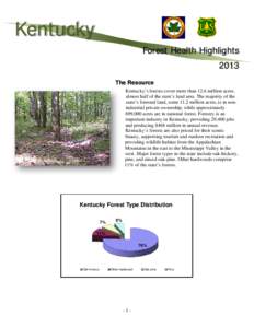 | Kentucky Forest Health Highlights 2013 The Resource Kentucky’s forests cover more than 12.6 million acres, almost half of the state’s land area. The majority of theDocID: 1gh8g - View Document |
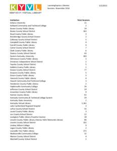 | LEL_Sessions_November2014.xlsxDocID: 1aiIC - View Document |
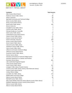 | LEL_Sessions_October2014.xlsxDocID: 1a2al - View Document |
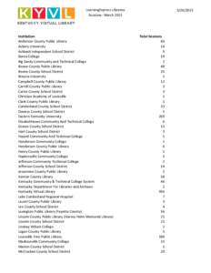 | LEL_Sessions_March2015.xlsxDocID: 19Z0X - View Document |
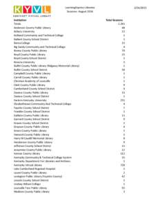 | LEL_Sessions_August2014.xlsxDocID: 19pjg - View Document |
 UNOFFICIAL COPY AS OF[removed] 14 REG. SESS. 14 RS BR[removed]A JOINT RESOLUTION designating the Robertson Forest Highway in Breathitt County. WHEREAS, in 1908, E. O. Robinson and Frederick Mowbray of the Mowbray-Robinson