<--- Back to Details
| First Page | Document Content | |
|---|---|---|
 Transport Compass Plotter Magnetic declination Course Breton plotter Navigation Aerospace engineering Technology |
Add to Reading List |
PDF DocumentDocID: 1xPSf - View Document | |
PDF DocumentDocID: 1xPNS - View Document | |
PDF DocumentDocID: 1xOmS - View Document | |
PDF DocumentDocID: 1xLmy - View Document | |
PDF DocumentDocID: 1xLhB - View Document |
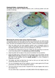
 Chartwork Plotter – instructions for use The plotter can be used to measure distance, plot a Lat/Long position and plot courses or bearings. Measuring the course to steer using a Chartwork plotter The compass rose on t