<--- Back to Details
| First Page | Document Content | |
|---|---|---|
 Date: 2015-04-22 23:08:01Dixie National Forest Bryce Canyon National Park Grand Staircase-Escalante National Monument Utah State Route 12 Trail Panguitch Utah U.S. Route 89 in Utah |
Add to Reading List |
 Casto Limeklinindd
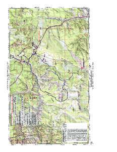 | Mt. Carmel Junction OHV Trails HOW TO GET THERE Location: Virgin River Distance from Salt Lake City: Approximately 287 miles or 5 hours. Travel Route. South on I-15, east on SR 20 and south on US 89 to Mt. Carmel JunctiDocID: 1rsFx - View Document |
") | Haycock Mountain map 1-05.qxd (Page 2)DocID: 1r5ta - View Document |
 | Ogden_UT_WorkshopBrochure.pmdDocID: 1pJbs - View Document |
") | Little Valleys map 4-05.qxd (Page 2)DocID: 1pjie - View Document |
 | Kanab Area OHV Trails HOW TO GET THERE Location: Kanab Distance from Salt Lake City: Approximately 303 miles or 6 hours. Travel Route. South on I-15, east on SR 20 and south on US 89 to Kanab. RIDE DESCRIPTIONDocID: 1oucQ - View Document |