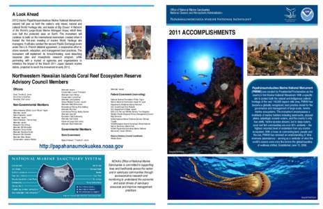
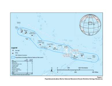
 Date: 2016-07-06 20:42:05Northwestern Hawaiian Islands HawaiianEmperor seamount chain Papahnaumokukea Marine National Monument Nihoa S. Hata Building Kure Atoll Hawaiian Islands French Frigate Shoals Necker Island Marine protected area Western Pacific Regional Fishery Management Council Laysan | |  A Look Ahead 2012 marks Papahānaumokuākea Marine National Monument’s second full year as both the nation’s only mixed, natural and cultural World Heritage site, and leader of Big Ocean: A Network of the World’s L A Look Ahead 2012 marks Papahānaumokuākea Marine National Monument’s second full year as both the nation’s only mixed, natural and cultural World Heritage site, and leader of Big Ocean: A Network of the World’s L
Add to Reading ListSource URL: www.papahanaumokuakea.govDownload Document from Source Website File Size: 556,63 KBShare Document on Facebook
|

 A Look Ahead 2012 marks Papahānaumokuākea Marine National Monument’s second full year as both the nation’s only mixed, natural and cultural World Heritage site, and leader of Big Ocean: A Network of the World’s L