<--- Back to Details
First PageDocument Content
Geography of Minnesota / Geography of North Dakota / Geography of the United States / Watershed district / Roseau River / United States Army Corps of Engineers / Red River of the North
Date: 2016-07-12 15:32:14
Geography of Minnesota
Geography of North Dakota
Geography of the United States
Watershed district
Roseau River
United States Army Corps of Engineers
Red River of the North

Microsoft Word - Jan2016 min

Add to Reading List

Source URL: www.rrwmb.org

Download Document from Source Website

File Size: 133,20 KB

Share Document on Facebook

Similar Documents

WHEREAS, the [Name] [Watershed District (WD)/Water Management Organization (WMO)] has approved and adopted a comprehensive Watershed Management Plan ("Plan") as defined by Minnesota Statutes ยง103B, 103D and 103E and Mi

DocID: 1vrSk - View Document

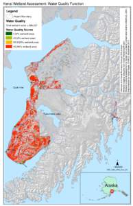
Hillshade from Kenai Peninsula Borough GIS division. Wetland mapping polygons from Kenai Watershed Forum. Wetland functional assessment by Homer Soil & Water Conservation District (HSWCD), 2014. Map prepared by Karyn Noy

Hillshade from Kenai Peninsula Borough GIS division. Wetland mapping polygons from Kenai Watershed Forum. Wetland functional assessment by Homer Soil & Water Conservation District (HSWCD), 2014. Map prepared by Karyn Noy

DocID: 1vqFm - View Document

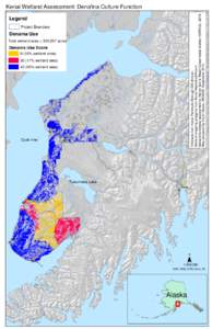
Hillshade from Kenai Peninsula Borough GIS division. Wetland mapping polygons from Kenai Watershed Forum. Wetland functional assessment by Homer Soil & Water Conservation District (HSWCD), 2014. Map prepared by Karyn Noy

Hillshade from Kenai Peninsula Borough GIS division. Wetland mapping polygons from Kenai Watershed Forum. Wetland functional assessment by Homer Soil & Water Conservation District (HSWCD), 2014. Map prepared by Karyn Noy

DocID: 1vnxa - View Document

STATE OF MINNESOTA BOARD OF WATER AND SOIL RESOURCES 520 LAFAYETTE ROAD NORTH SAINT PAUL, MINNESOTA3767 PROCEDURE FOR TERMINATING A WATERSHED DISTRICT

STATE OF MINNESOTA BOARD OF WATER AND SOIL RESOURCES 520 LAFAYETTE ROAD NORTH SAINT PAUL, MINNESOTA3767 PROCEDURE FOR TERMINATING A WATERSHED DISTRICT

DocID: 1uFUM - View Document

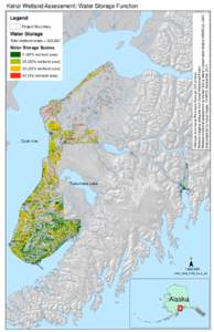
Hillshade from Kenai Peninsula Borough GIS division. Wetland mapping polygons from Kenai Watershed Forum. Wetland functional assessment by Homer Soil & Water Conservation District (HSWCD), 2014. Map prepared by Karyn Noy

Hillshade from Kenai Peninsula Borough GIS division. Wetland mapping polygons from Kenai Watershed Forum. Wetland functional assessment by Homer Soil & Water Conservation District (HSWCD), 2014. Map prepared by Karyn Noy

DocID: 1ujFK - View Document