<--- Back to Details
| First Page | Document Content | |
|---|---|---|
 Date: 2011-09-10 16:52:56Fisheries Coastal geography Estuary Geodesy Water Mobile River Mobile-Tensaw River Delta Mobile Alabama Tensaw River Geography of Alabama Alabama Mobile Bay |
Add to Reading List |
 | Nature Preserves Alabama Coastal Birding Trail http://www.alabamacoastalbirdingtrail.com/trails/mobile-tensaw_river_delta_loop.asp This loop begins at the intersection of I-65 and AL 225 just south of Stockton, AL. In thDocID: 1riA3 - View Document |
 | Circle frame, with logo, 1954DocID: 1oOpk - View Document |
 | Find Your Story PRESS RELEASE Contact: Georgia Ann Hudson Communications OfficerDocID: 1msRT - View Document |
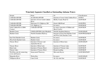 | Waterbody Segments Classified as Outstanding Alabama Waters Stream CAHABA RIVER CAHABA RIVER FromDocID: 19pFL - View Document |
 | National Estuary Program Coastal Condition Report, NEP CCR - Chapter 5, Gulf of MexicoDocID: N7yz - View Document |
 National Estuary Program Coastal Condition Report, NEP CCR - Chapter 5, Gulf of Mexico