<--- Back to Details
| First Page | Document Content | |
|---|---|---|
 Date: 2012-06-20 04:23:12Side-scan sonar Physical geography Marine protected area Cape Byron Marine park Earth Water Acoustic Seabed Classification Oceanography Fisheries science Sonar |
Add to Reading List |
 Cooperative Research Centre for Coastal Zone Estuary and Waterway Management Cape Byron Marine Park Habitat Mapping December 2004
 | Point Danger Brunswick Cape Byron Ballina Evans Head Iluka YambaDocID: 1uTJb - View Document |
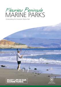 | Fleurieu Peninsula MARINE PARKS Incorporating the Encounter Marine Park Why we needDocID: 1rmyj - View Document |
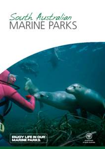 | South Australian MARINE PARKS Why we need marine parksDocID: 1pg5a - View Document |
 is currently undertaking renovation and upgrade works at the Cape Byron Lighthouse in New South Wales. The fi") | Tuesday, 12 May, 2015 Works underway at Cape Byron Lighthouse The Australian Maritime Safety Authority (AMSA) is currently undertaking renovation and upgrade works at the Cape Byron Lighthouse in New South Wales. The fiDocID: 19d01 - View Document |
 | Check in 2pm / Check out 10am Office Hours: 8.30am – 5.30pm Basement Carpark open 7am-9pm No entry/exit to carpark after 9pm Double Twin RoomDocID: 18WvT - View Document |