<--- Back to Details
| First Page | Document Content | |
|---|---|---|
 Date: 2007-06-02 16:46:26Cave survey Surveying Geographic information system Topography Cave Jewel Cave National Monument Mammoth Cave National Park Physical geography Geography Cartography |
Add to Reading List |
 GIS Applications for Cave Management at Jewel Cave Rene Ohms, Cave Management Assistant Jewel Cave National Monument RR1 Box 60AA, Custer, SD[removed]2061 x1229
") | Mulu Cave Survey Subversion Repository (SVN Repository)DocID: 1vscC - View Document |
 | A Survey of G.B. Cave, Charterhouse-on-MendipDocID: 1uWUg - View Document |
 | A revised survey of G.B. Cave, Charterhouse-on-Mendip, SomersetDocID: 1uogV - View Document |
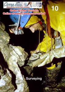 | VERTICAL 170 A survey is the only way you can find out how deep your cave is and where it is going. It is a guide that indicates where to look for a continuation or passages that are likely to connectDocID: 1tOWQ - View Document |
 | Volume 14, Number s1 & 2 Building understanding of karst through interdisciplinary action December 2014DocID: 1qeGE - View Document |