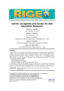
 Date: 2014-05-08 14:06:32Geography Spatial data analysis Geographic information science National Council for Geographic Education Geospatial analysis Spatial analysis Geographic Information Systems Certification Institute Esri Esri Education User Conference Geographic information systems Cartography Statistics | |  Review of International Geographical Education Online ©RIGEO Volume 2, Number 3, WinterCall for an Agenda and Center for GIS Education Research Thomas R. BAKER1 Esri, Leawood, Ks., USA Review of International Geographical Education Online ©RIGEO Volume 2, Number 3, WinterCall for an Agenda and Center for GIS Education Research Thomas R. BAKER1 Esri, Leawood, Ks., USA
Add to Reading ListSource URL: www.rigeo.orgDownload Document from Source Website File Size: 649,29 KBShare Document on Facebook
|


 Review of International Geographical Education Online ©RIGEO Volume 2, Number 3, WinterCall for an Agenda and Center for GIS Education Research Thomas R. BAKER1 Esri, Leawood, Ks., USA