<--- Back to Details
| First Page | Document Content | |
|---|---|---|
 Date: 2013-06-20 13:08:51Comoros Comoros archipelago Mozambique Channel Heavily Indebted Poor Countries Gross domestic product Economy of Comoros Economy of Madagascar Political geography International relations Development |
Add to Reading List |
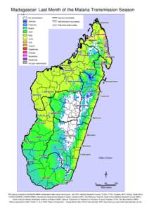
 | Madagascar: Last Month of the Malaria Transmission Season No transmission Country boundaries ComorosDocID: 1upEj - View Document |
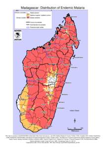
 | Madagascar: Distribution of Endemic Malaria Climate unsuitable Comoros Climate suitableDocID: 1ub6T - View Document |
 | Situation on Registered Vessels of Comoros, Greece and Cambodia ArticleRe port 6 November 2014DocID: 1u8cD - View Document |
 | COMOROS:NAPA PROJECT PROFILE 1. Varieties that are more adapted to drought PageIncrease in water supplyDocID: 1sg04 - View Document |
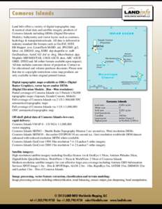
 | Comoros Islands Land Info offers a variety of digital topographic map & nautical chart data and satellite imagery products of Comoros Islands including DEMs (Digital Elevation Models), bathymetry and vector layers such aDocID: 1ryTS - View Document |
 Union of the Comoros: Letter of Intent, Memorandum of Economic and Financial Policies, and Technical Memorandum of Understanding; May 18, 2013