<--- Back to Details
| First Page | Document Content | |
|---|---|---|
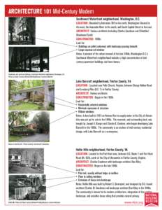
 Date: 2014-08-05 16:11:23Virginia Geography of the United States Charles M. Goodman Fort Hunt Virginia Alexandria Virginia Baltimore–Washington metropolitan area Baltimore–Washington metropolitan area Hollin Hills |
Add to Reading List |
 United States Department of the Interior
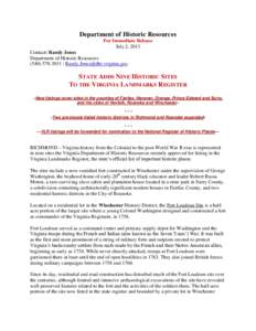
![Department of Historic Resources For Immediate Release July 2, 2013 Contact: Randy Jones Department of Historic Resources[removed] / [removed] Department of Historic Resources For Immediate Release July 2, 2013 Contact: Randy Jones Department of Historic Resources[removed] / [removed]](https://www.pdfsearch.io/img/b9bcceebe71c8c76ef3a27502c696590.jpg)
![Hollin Hills Historic District Fairfax County, [removed]Created by: D. Bascone March 1, 2013 Sources: VDHR 2013, ESRI 2013, VBMP 2011 Records of the Virginia Department of Historic Resources (DHR) have been gathered over Hollin Hills Historic District Fairfax County, [removed]Created by: D. Bascone March 1, 2013 Sources: VDHR 2013, ESRI 2013, VBMP 2011 Records of the Virginia Department of Historic Resources (DHR) have been gathered over](https://www.pdfsearch.io/img/d509f23e9979938af1468c7fff875efe.jpg)
