<--- Back to Details
| First Page | Document Content | |
|---|---|---|
 Date: 2013-05-28 08:44:12Maryland Route 33 Geography of the United States Maryland Earth Tides Chesapeake Bay Watershed Choptank River |
Add to Reading List |
 | All Is Not Loss: Plant Biodiversity in the Anthropocene Erle C. Ellis1*, Erica C. Antill1, Holger Kreft2 1 Department of Geography & Environmental Systems, University of Maryland, Baltimore, Maryland, United States of AmDocID: 1shaI - View Document |
 | United States of America National Section of the Pan American Institute of Geography and HistoryDocID: 1sdgj - View Document |
 | United States of America National Section of the Pan American Institute of Geography and HistoryDocID: 1s0Kk - View Document |
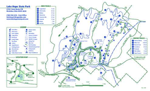 | Lake Hope State Park BIKE TRAILS ewDocID: 1rugJ - View Document |
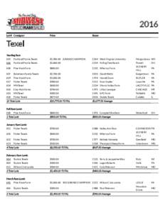 | 2016 Lot # Consignor Price BuyerDocID: 1rugo - View Document |
 QUEEN ANNE’S COUNTY TALBOT COUNTY CAROLINE COUNTY REFERENCE TIDE GAUGE - CAMBRIDGE The Cambridge tide gauge is located along the Choptank River in Dorchester County. High tide at the Kent Island Narrows (Queen Anne’s