<--- Back to Details
| First Page | Document Content | |
|---|---|---|
 Date: 2003-05-30 10:25:13Geography of Pennsylvania Allegheny Plateau Swatara Creek Susquehanna River Mahantango Creek Fishing Creek Quehanna Wild Area Chillisquaque Creek Raystown Branch Juniata River Juniata River Raystown Lake Sinnemahoning Creek |
Add to Reading List |
 | COMMONWEALTH OF PENNSYLVANIADocID: 1rowV - View Document |
 | U.S. Department of the Interior U.S. Geological Survey Water Resources Data Pennsylvania Water Year 2002DocID: 1rmJQ - View Document |
 | 2015_Allocations_Lycoming_CountyDocID: 1rbbG - View Document |
 | U.S. Department of the Interior U.S. Geological Survey Water Resources Data Pennsylvania Water Year 2005DocID: 1r8L8 - View Document |
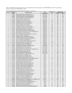 | Table 2. Chesapeake Bay nontidal monitoring stations. Load computations performed at all stations with a START DATE prior toTrend computations performed at all stations with START DATE prior toBold stationDocID: 1qWd2 - View Document |
 U.S. Department of the Interior U.S. Geological Survey Water Resources Data Pennsylvania Water Year 2002