<--- Back to Details
First PageDocument Content
Geography / Hydrography / Navigation / Physical geography / Aids to navigation / National Oceanic and Atmospheric Administration / Hydrographic survey / Surveying / National Ocean Service / U.S. National Geodetic Survey / Nautical chart / NOAAS Fairweather
Date: 2015-09-15 12:50:20
Geography
Hydrography
Navigation
Physical geography
Aids to navigation
National Oceanic and Atmospheric Administration
Hydrographic survey
Surveying
National Ocean Service
U.S. National Geodetic Survey
Nautical chart
NOAAS Fairweather

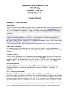
Hydrographic Services Review Panel Public Meeting September 23-24, 2009 Duluth, Minnesota Summary Record September 23, Wednesday
Add to Reading List

Source URL: www.nauticalcharts.noaa.gov

Download Document from Source Website

File Size: 217,45 KB

Share Document on Facebook

Similar Documents

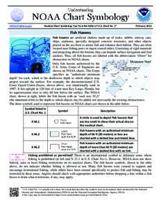
  Nautical Chart Symbology Tips from the Editor of U.S. Chart No. 1* February 2016

Nautical Chart Symbology Tips from the Editor of U.S. Chart No. 1* February 2016

DocID: 1vpRo - View Document

SBYC Course Chart Nautical Miles EffectivePHRF/OD COURSES A 2 St-Ap-Gt-BBp-Fin32

SBYC Course Chart Nautical Miles EffectivePHRF/OD COURSES A 2 St-Ap-Gt-BBp-Fin32

DocID: 1voNV - View Document

British Indian Ocean Territory Land Info offers a variety of digital topographic map & nautical chart data and satellite imagery products of British Indian Ocean Territory including DEMs (Digital Elevation Models), bathy

British Indian Ocean Territory Land Info offers a variety of digital topographic map & nautical chart data and satellite imagery products of British Indian Ocean Territory including DEMs (Digital Elevation Models), bathy

DocID: 1sM0U - View Document

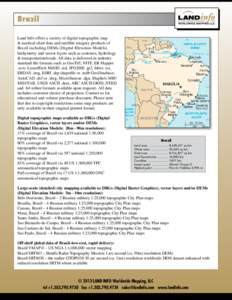
Brazil Land Info offers a variety of digital topographic map & nautical chart data and satellite imagery products of Brazil including DEMs (Digital Elevation Models), bathymetry and vector layers such as contours, hydrol

Brazil Land Info offers a variety of digital topographic map & nautical chart data and satellite imagery products of Brazil including DEMs (Digital Elevation Models), bathymetry and vector layers such as contours, hydrol

DocID: 1syKW - View Document

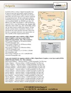
Bulgaria Land Info offers a variety of digital topographic map & nautical chart data and satellite imagery products of Bulgaria including DEMs (Digital Elevation Models), bathymetry and vector layers such as contours, hy

Bulgaria Land Info offers a variety of digital topographic map & nautical chart data and satellite imagery products of Bulgaria including DEMs (Digital Elevation Models), bathymetry and vector layers such as contours, hy

DocID: 1st5s - View Document