| Document Date: 2012-01-20 19:17:03
Open Document File Size: 3,84 MBShare Result on Facebook
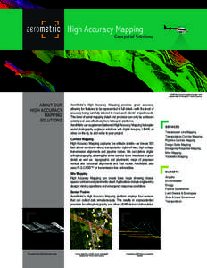
Company Metric Inc. / AeroMetric’s High Accuracy Mapping / / IndustryTerm on-target geospatial solutions / transportation rights-of-way / airborne imaging technology / helicopter aerial photography eagleeye solutions / / / Product Harman On Time Radio / / Technology airborne imaging technology / digital camera / GPS / / URL www.aerometric.com/ham / /
SocialTag |

