<--- Back to Details
| First Page | Document Content | |
|---|---|---|
 Date: 2014-07-10 07:16:00Historic Columbia River Highway Mount Hood National Forest Oregon Geography of the United States Portland Oregon Geographic information system Map Geovisualization Wahkeena Falls Cartography Visualization Columbia River Gorge |
Add to Reading List |
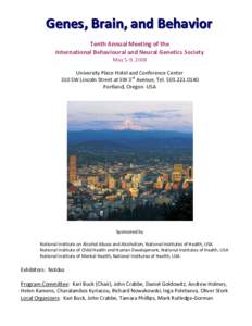
 | Microsoft Word - GBB ProgramSchedule 2008.docDocID: 1lJVs - View Document |
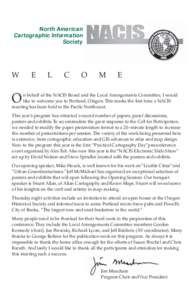
 | North American Cartographic Information Society WDocID: EzDR - View Document |
 | Historic Columbia River Highway Beacon Rock State Park Corbett to DodsonDocID: BVq8 - View Document |
 | H i k i n g Loops near Multnomah Falls Key to Trails LEGENDDocID: BxkW - View Document |
 | PDF DocumentDocID: hOaJ - View Document |
 North American Cartographic Information Society W