<--- Back to Details
| First Page | Document Content | |
|---|---|---|
 Date: 2006-03-27 12:05:16Pend Oreille River Regional District of Central Kootenay Regional District of East Kootenay West Kootenay Colville National Forest Box Canyon Dam Lake Pend Oreille Washington State Route 31 Albeni Falls Dam Geography of the United States Pend Oreille County Washington Washington |
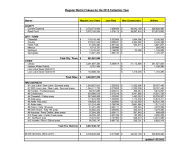
 | Regular District Values for the 2015 Collection Year District Regular Levy ValueDocID: 1a3x4 - View Document |
![Hydropower Project Summary PEND OREILLE RIVER, WASHINGTON BOUNDARY HYDROELECTRIC PROJECT (P[removed]Photo: Rich Bowers, HRC Hydropower Project Summary PEND OREILLE RIVER, WASHINGTON BOUNDARY HYDROELECTRIC PROJECT (P[removed]Photo: Rich Bowers, HRC](https://www.pdfsearch.io/img/f357f9fdca332e09bd63642e5aef85e0.jpg) | Hydropower Project Summary PEND OREILLE RIVER, WASHINGTON BOUNDARY HYDROELECTRIC PROJECT (P[removed]Photo: Rich Bowers, HRCDocID: JQ13 - View Document |
 | NOVA Grants Evaluation Scores 2014DocID: JNEB - View Document |
 | NOVA Grants Evaluation Scores 2014DocID: IVML - View Document |
 | Microsoft Word - 2009_SCY_IGBC_Accomp_Rep.docDocID: Iwcg - View Document |
