<--- Back to Details
| First Page | Document Content | |
|---|---|---|
 Date: 2015-04-22 09:33:41Physical geography Swot Amazon River Discharge Purus River Stream gauge Stage Tide Streamflow Hydrology Water Earth |
Add to Reading List |
 | U.S DEPARTMENT OF THE INTERIOR U.S. GEOLOGICAL SURVEY Streamflow Statistics for the Narraguagus River at Cherryfield, Maine Open-File Report 00-95DocID: 1rtIr - View Document |
 | hydro assess title bh revPDFDocID: 1rqj9 - View Document |
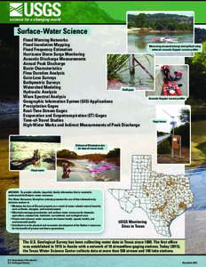 | USGS science for a changing world Surface-Water Science Flood Warning NetworksDocID: 1rkC7 - View Document |
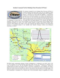 | Incident Command Tool for Drinking Water Protection (ICWater) The Incident Command Tool for Drinking Water Protection (ICWater) is structured around the RiverSpill model which has been enhanced to make use of the 1:100,0DocID: 1ri74 - View Document |
 | RED RIVER BASIN COMMISSION March 2013 Project Outline Project/Program: Stream Gaging and Precipitation Network ProjectDocID: 1rbui - View Document |
 Hydrol. Earth Syst. Sci., 19, 1943–1959, 2015 www.hydrol-earth-syst-sci.netdoi:hess © Author(sCC Attribution 3.0 License. Swath-altimetry measurements of the main stem Amaz