<--- Back to Details
| First Page | Document Content | |
|---|---|---|
 Date: 2008-07-25 05:32:14Struve Geodetic Arc Aavasaksa Cartography Friedrich Georg Wilhelm von Struve Datum Hammerfest Enontekiö Rudi Geodetic Point Baranivka Europe Geodesy Struve family |
Add to Reading List |
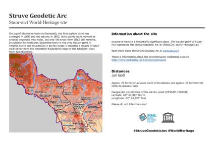
 | Struve Geodetic Arc Stuor-oivi World Heritage site On top of Stuorrahanoaivi in Enontekiö, the first station point was surveyed in 1850 and the second inBoth points were marked as crosses engraved into rocks, butDocID: 1u0pN - View Document |
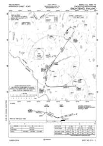
 | ELEV 1006 FT RNAV (GNSS) RWY 03 ENONTEKIÖ AERODROME HEIGHTS RELATED TODocID: 1r4PZ - View Document |
 | ENONTEKIÖ AERODROME LATN LONGE LANDING CHARTDocID: 1qTmK - View Document |
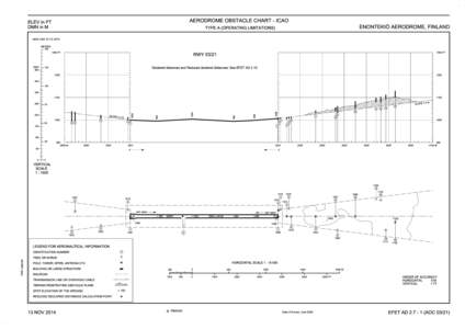
 | AERODROME OBSTACLE CHART - ICAO ELEV in FT DMN in M ENONTEKIÖ AERODROME, FINLANDDocID: 1qLvV - View Document |
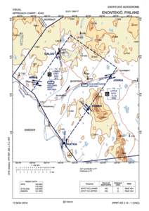
 | ENONTEKIÖ AERODROME VISUAL ELEV 1006 FT ENONTEKIÖ, FINLANDDocID: 1qfQN - View Document |
 Microsoft PowerPoint - Case Study Struve Arc_Heikkurinen.ppt