<--- Back to Details
| First Page | Document Content | |
|---|---|---|
 Date: 2009-08-11 03:48:17Surveying Archaeology Oceanography Antiquities and Monuments Ordinance Antiquities and Monuments Office Environmental impact assessment Survey vessel Sonar Bathymetry Conservation in Hong Kong Earth Physical geography |
Add to Reading List |
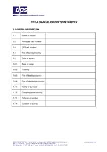
 | PRE-LOADING CONDITION SURVEY 1. GENERAL INFORMATION 1.1. Name of vesselDocID: 1sGgO - View Document |
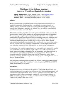
 | Multibeam Water Column Imaging : Improved Wreck Least-Depth DeterminationDocID: 1qHQI - View Document |
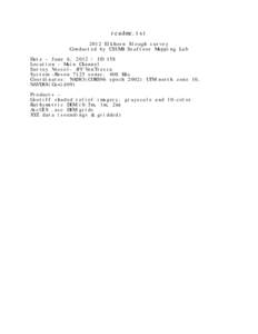
 | readme.txt 2012 Elkhorn Slough survey Conducted by CSUMB Seafloor Mapping Lab Date – June 6, JD 158 Location – Main Channel Survey Vessel- RV VenTrescaDocID: 1qsZK - View Document |
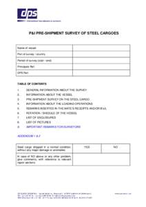
 | P&I PRE-SHIPMENT SURVEY OF STEEL CARGOES Name of vessel Port of survey / country Period of survey (start / end) Principals Ref.DocID: 1qkYO - View Document |
GGE 3353 Imaging and Mapping II 3 Final Exam 2001 GGE3353 – Imaging and Mapping II Submarine Acoustic Imaging Methods.DocID: 1q0mo - View Document |
 HZMB – HKBCF & HKLR EIA Report Contents Page