<--- Back to Details
| First Page | Document Content | |
|---|---|---|
 Date: 2013-12-01 17:06:24Nanango Queensland Kingaroy Tingoora Queensland Blackbutt Queensland Shire of Nanango South Burnett Region States and territories of Australia Queensland |
Add to Reading List |
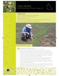
 | Case studies David and Rhonda Ballin, ‘Daisybank’, Kingaroy Qld. PROPERTY DETAILS Location: 5 kms west of Kingaroy, southern Queensland Catchment: Stuart River, Burnett River catchmentDocID: 17GQK - View Document |
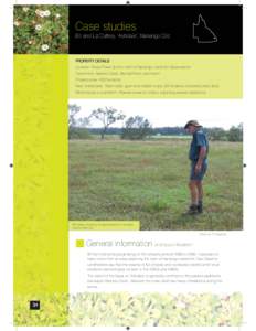
 | Case studies Bill and Liz Caffery, ‘Ashdale’, Nanango Qld. PROPERTY DETAILS Location: Booie Road, 8 kms north of Nanango, southern Queensland Catchment: Barkers Creek, Burnett River catchmentDocID: 17GFY - View Document |
 | PDF DocumentDocID: 17lv3 - View Document |
 | PDF DocumentDocID: 168lV - View Document |
 | BIEDO Voice of the Inland Oct/Nov/Dec 2013 Burnett Inland Economic Development OrganisationDocID: 15IZl - View Document |
 South Burnett Regional Urban Flying-Fox Management Area map