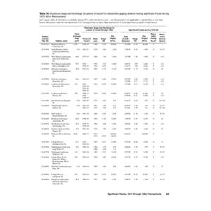
 Date: 2013-08-22 15:19:21Swatara Creek Raystown Branch Juniata River Clearfield Creek Delaware River Aughwick Creek Bald Eagle Creek Little Juniata River Mahantango Creek Kettle Creek Geography of Pennsylvania Pennsylvania Schuylkill River | |  Table 39. Maximum stage and discharge for period of record for streamflow-gaging stations having significant floods during 1970–89 in Pennsylvania 2 [mi , square miles; ft, feetstage Table 39. Maximum stage and discharge for period of record for streamflow-gaging stations having significant floods during 1970–89 in Pennsylvania 2 [mi , square miles; ft, feetstage
Add to Reading ListSource URL: ks.water.usgs.govDownload Document from Source Website File Size: 599,65 KBShare Document on Facebook
|


 Table 39. Maximum stage and discharge for period of record for streamflow-gaging stations having significant floods during 1970–89 in Pennsylvania 2 [mi , square miles; ft, feetstage