<--- Back to Details
| First Page | Document Content | |
|---|---|---|
 Date: 2015-03-10 16:39:14Geography of Arkansas Arkansas Ozarks Boston Mountains Beaver Lake White River Sycamore Creek |
Add to Reading List |
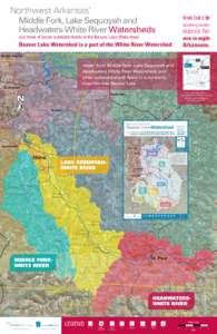
 | Northwest Arkansas’ Middle Fork, Lake Sequoyah and Headwaters-White River Watersheds drinking waterDocID: 1qQlc - View Document |
 | The Plan 3 Aquatic Habitat.pmdDocID: 1qwm9 - View Document |
 | A Look at Massachusetts Agriculture Climate & Soil • The climate varies greatly between the eastern sea coast and the western mountainsDocID: 19lXh - View Document |
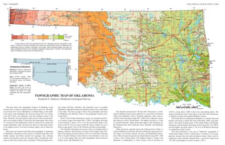
 | EDUCATIONAL PUBLICATION 9: 2008 Page 2, Topographic Contour lines (in feet) are generalized from U.S. Geological Survey topographic maps (scale, 1:250,000). Principal meridians and base lines (dotted black lines) are reDocID: 19k0i - View Document |
 | Land Cover Change in the Boston Mountains, 1973–2000DocID: 19fQN - View Document |
 Northwest Arkansas’ Middle Fork, Lake Sequoyah and Headwaters-White River Watersheds drinking water