<--- Back to Details
| First Page | Document Content | |
|---|---|---|
 Date: 2007-05-23 15:52:39Wide Area Augmentation System Global Positioning System Differential GPS Instrument approach LNAV LORAN Local Area Augmentation System Localizer performance with vertical guidance GPS Technology Navigation |
Add to Reading List |
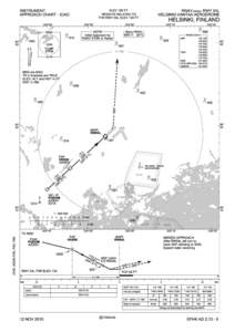 | ELEV 180 FT INSTRUMENT APPROACH CHART - ICAO RNAV (GNSS) RWY 04LDocID: 1sH0U - View Document |
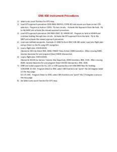 | GNS 430 Instrument Procedures 1) Select auto zoom function for GPS map. 2) Load GPS approach procedure OUN RNAV RWY03, COFIX IAF and ensure you have correct CDI selection. Program to hold at COFIX. Fly two circuits. ActiDocID: 1sBy1 - View Document |
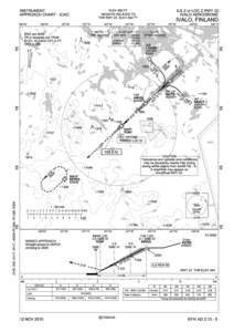 | ELEV 482 FT INSTRUMENT APPROACH CHART - ICAO ILS Z or LOC Z RWY 22DocID: 1sB52 - View Document |
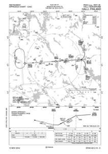 | ELEV 481 FT INSTRUMENT APPROACH CHART - ICAO RNAV (GNSS) RWY 26DocID: 1sAGE - View Document |
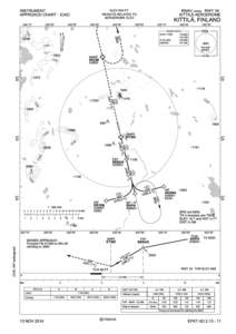 | ELEV 645 FT INSTRUMENT APPROACH CHART - ICAO RNAV (GNSS) RWY 34DocID: 1svYS - View Document |
 DTFA01-96-C[removed]Modification No[removed]Modification No. 0051