Back to Results
First PageMeta Content
Geography / Geodesy / Government of Texas / Texas Natural Resources Information System / Maps / The National Map / National Hydrography Dataset / Geographic information system / Geospatial analysis / Cartography / Physical geography / Topography


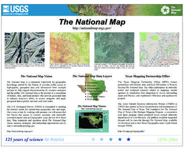
The National Map http://nationalmap.usgs.gov/ High Resolution orthoimagery aerial view of freeways in the Houston metropolitan area as an example of the 133 Urban Areas mapping program
Add to Reading List

Document Date: 2004-07-27 11:40:10


Open Document

File Size: 3,86 MB

Share Result on Facebook

City

Brownsville / Dallas / Houston / /

Continent

America / /

Country

Mexico / /

/

Organization

Texas Mapping Partnership Office / /

Position

Governor / /

ProvinceOrState

Texas / /

Technology

pdf / /

URL

http /

SocialTag