<--- Back to Details
| First Page | Document Content | |
|---|---|---|
 Date: 2010-03-28 08:00:02Kanawinka Geopark Wannon River Wannon Falls Nigretta Falls Warrnambool Mount Gambier South Australia Shire of Glenelg Koroit Victoria States and territories of Australia Geography of Australia Victoria |
Add to Reading List |
 | your boundaries REGIONAL STUDY GUIDE 2017DocID: 1qx4d - View Document |
 | Finding of Inquest - Andrea LambropoulosDocID: 1pNgZ - View Document |
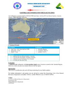
 | MINERAL RESOURCES DEPARTMENT Seismology Unit EARTHQUAKE INFORMATION RELEASE NOAn earthquake occurred tonight at 08:58:43 PM local time, 1,664 km SW from Mount Gambier, Australia.DocID: 1pClc - View Document |
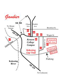
 | Gambier To Mount Vernon SRDocID: 1ljsN - View Document |
 | Australian Forest History Society Newsletter No. 64 December 2014 "… to advance historical understanding of human interactions with Australian forest and woodland environments."DocID: 1fShY - View Document |
 South West Victoria & South East South Australia Dundas Tableland Precinct: Wannon Falls