Back to Results
First PageMeta Content
Earth / Landsat program / Landsat 7 / Spaceflight / Intact forest landscape / Geographic information system / Forest / Deforestation / Multispectral pattern recognition / Systems ecology / Environment / Habitats


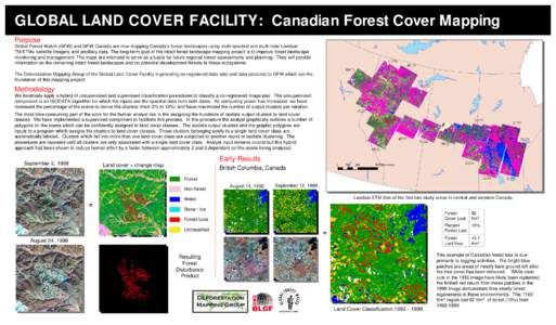
GLOBAL LAND COVER FACILITY: Canadian Forest Cover Mapping Purpose Global Forest Watch (GFW) and GFW Canada are now mapping Canada’s forest landscapes using multi-spectral and multi-date Landsat TM/ETM+ satellite imager
Add to Reading List

Document Date: 2011-04-12 16:17:02


Open Document

File Size: 970,54 KB

Share Result on Facebook

Company

Deforestation Mapping Group / /

Country

Canada / /

Event

Environmental Issue / /

Facility

GLOBAL LAND COVER FACILITY / /

IndustryTerm

satellite imagery / /

NaturalFeature

Canadian forest / /

Position

analyst / /

ProvinceOrState

British Columbia / /

Region

central Canada / western Canada / /

Technology

ISODATA algorithm / /

SocialTag