<--- Back to Details
| First Page | Document Content | |
|---|---|---|
 Date: 2014-10-01 11:49:10North Kaibab Trail South Kaibab Trail Grand Canyon River Trail Bright Angel Trail Tonto Trail Phantom Ranch Plateau Point Trail Grandview Trail Geography of Arizona Arizona Colorado River |
Add to Reading List |
 | Hoodoo Trail Battle Scene & Viewpoints Milk RiverDocID: 1vbYR - View Document |
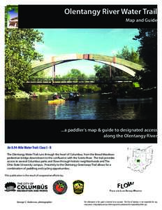
 | Olentangy River Water Trail Map and Guide ...a paddler’s map & guide to designated access along the Olentangy River An 8.94-Mile Water Trail: Class I - IIDocID: 1v9d4 - View Document |
 | Trego Lake Trail St. Croix National Scenic Riverway Contact the National Park Service Namekagon River Visitor Center Highway 63, half mile east of Highway 53DocID: 1uoy6 - View Document |
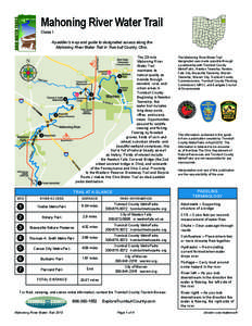
 | Mahoning River Water Trail Class I A paddler’s map and guide to designated access along the Mahoning River Water Trail in Trumbull County, Ohio. The 23-mileDocID: 1u9Gs - View Document |
 | Larsen Landing Trail Powell River Trail SystemDocID: 1sTLb - View Document |
 Grand Canyon National Park Service U.S. Department of the Interior Grand Canyon National Park