<--- Back to Details
| First Page | Document Content | |
|---|---|---|
 Date: 2001-05-01 12:30:14Photogrammetry Physical geography Geographic information systems Digital orthophoto quadrangle Orthophoto Ground sample distance Digital image Aerial photography USGS DEM Cartography Geodesy United States Geological Survey |
Add to Reading List |
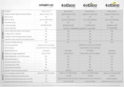
 | Wingspan 80 cmin) 96 cmin)DocID: 1q876 - View Document |
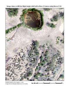
 | Image taken at 400 feet flight height with GoPro Hero 2 Camera using Raven UAS Default Scale for this image is 1:318 Image Ground Sample Distance is 3.2 inches. 0DocID: XOSu - View Document |
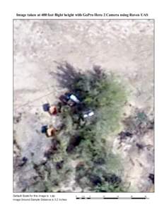
 | Image taken at 400 feet flight height with GoPro Hero 2 Camera using Raven UAS Default Scale for this image is 1:84 Image Ground Sample Distance is 3.2 inches. 0DocID: XGmF - View Document |
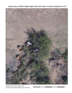
 | Image taken at 200 feet flight height with GoPro Hero 2 Camera using Raven UAS Default Scale for this image is 1:84 Image Ground Sample Distance is 0.78 inches. 0DocID: WP21 - View Document |
 | MAP ACCURACY REPORT Southern Minnesota Ortho Project Multi-Agency Project Data Contact Person: Type of Mapping:DocID: QtIl - View Document |
 National Mapping Program Technical Instructions Part 2 Specifications Standards for