<--- Back to Details
| First Page | Document Content | |
|---|---|---|
 Date: 2013-10-03 04:22:35Cartography Science Geography Regional science Geographic information system Land-parcel identification system Cadastre Land cover Surveying Land use Land management Human geography |
Add to Reading List |
2013 LPIS Eligibility Review Appeals Committee Terms of Reference The LPIS (Land Parcel Identification System) Appeals Committee is a temporary ad hoc Committee set up to adjudicate on appeals received in respect ofDocID: 1lVFY - View Document | |
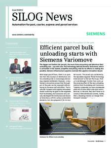
 | IssueSILOG News Automation for post, courier, express and parcel services www.siemens.com/mobilityDocID: 1gGqd - View Document |
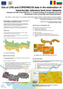
 | Poster_Milenov_Use_LPIS_CBC_MARS_2013_ENG_2DocID: 16Whq - View Document |
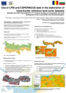
 | Poster_Milenov_Use_LPIS_CBC_MARS_2013_ENG_2DocID: 16O4S - View Document |
 | PDF DocumentDocID: 16DQp - View Document |
 Associating External Land Use/Cover Information with LADM’s Spatial Unit Halil Ibrahim INAN, Turkey Key words: Land Use/Cover, Spatial Unit, Data Model