<--- Back to Details
| First Page | Document Content | |
|---|---|---|
 Date: 2003-11-17 11:06:00Hayle Estuary Carrack Gladden St Ives Bay Hayle Lelant Hayle Estuary and Carrack Gladden SSSI Ribble and Alt Estuaries Cornwall Geography of England Geography of Cornwall |
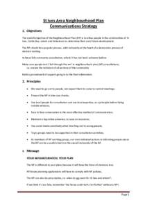
 | St Ives Area Neighbourhood Plan Communications Strategy 1. Objectives The overall objective of the Neighbourhood Plan (NP) is to allow people in the communities of St Ives, Carbis Bay, Lelant and Halsetown to determine tDocID: 1t2hA - View Document |
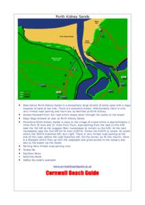
 | Porth Kidney Sands • • • •DocID: 1aORj - View Document |
 | PDF DocumentDocID: 17bHA - View Document |
 | PDF DocumentDocID: 16wAZ - View Document |
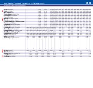
 | Truro | Redruth | Camborne | St Ives route 14 | Penzance route 18 Mondays to Fridays except public holidays 14DocID: 15ePd - View Document |
