<--- Back to Details
| First Page | Document Content | |
|---|---|---|
 Date: 2015-11-06 07:05:15Cartography Archaeology Geophysics Geography Remote sensing Geographic information systems Geophysical survey Digital elevation model Photogrammetry Surveying Orthophoto Survey |
|
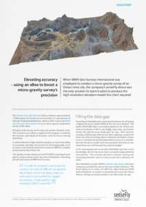
 CASE STUDY Elevating accuracy – using an eBee to boost a micro-gravity survey’s precision