<--- Back to Details
| First Page | Document Content | |
|---|---|---|
 Date: 2010-03-24 16:14:32United States Geological Survey Geography of the United States History of North America Water Mississippi River floods Flood stage Hydrology |
Add to Reading List |
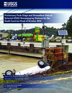 | Preliminary Peak Stage and Streamflow Data at Selected USGS Streamgaging Stations for the South Carolina Flood of October 2015 Open-File Report 2015–1201 Version 1.1, November 2015DocID: 1teWH - View Document |
 | Teacher Lesson Plan Stage 2 FloodSafe OverviewDocID: 1qAtT - View Document |
 | Teacher Lesson Plan Stage 3 FloodSafe OverviewDocID: 1qgFJ - View Document |
 | SRBC Flood Stage Forecast Maps 1) Addison Reach, Canisteo River & Tuscarora Creek (Complete – Georeferenced and Digitized) GAGES: - Canisteo River at West Cameron, NYcurrent) - Chemung River Flash Flood WarnDocID: 1pyDE - View Document |
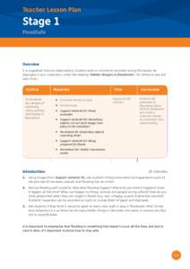 | Teacher Lesson Plan Stage 1 FloodSafe OverviewDocID: 1p94J - View Document |
 News Release March 24, 2010 Joyce Williamson Dan Driscoll