<--- Back to Details
| First Page | Document Content | |
|---|---|---|
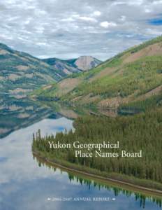 Date: 2014-08-27 02:04:58Yukon River Klondike Gold Rush Yukon First Nations Geography of Canada Bering Sea Carmacks Yukon Whitehorse Yukon Northern Tutchone Big Salmon River Dawson City Fort Selkirk |
Add to Reading List |
 | Wildfire Risk Assessment Guide for Alaska Villages and Communities BEAVER Executive Summary Beaver is located north bank of the Yukon River about 80 miles west of Fort Yukon and 110 miles north of Fairbanks. Beaver, a smDocID: 1uxl0 - View Document |
 | SUPREME COURT OF YUKON Citation: Ross River Dena Council v Yukon (Government of), 2015 YKSC 45 Date: S.C. No. 14-A0055DocID: 1sQP9 - View Document |
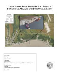 | LOWER YUKON RIVER REGIONAL PORT PROJECT: SITUATIONAL ANALYSIS AND POTENTIAL IMPACTS Sean Parnell Governor State of AlaskaDocID: 1skEJ - View Document |
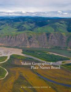 | Yukon Geographical Place Names Board • Annual Report •DocID: 1rtTL - View Document |
 | Yukon Bureau of Statistics 2 ÷ 9DocID: 1rsjL - View Document |
 Yukon Geographical Place Names Board Yukon Geographical Place Names Board • 2006–2007 Annual Report