<--- Back to Details
| First Page | Document Content | |
|---|---|---|
 Date: 2013-07-29 19:16:43South West Queensland Mulga Lands Currawinya National Park Tregole National Park Lake Bindegolly National Park Paroo River Thrushton National Park Acacia aneura Protected areas of Queensland States and territories of Australia Geography of Australia Geography of Queensland |
Add to Reading List |
 | Monday, 15 September, 2012DocID: 1aflz - View Document |
 | Ma661 Sth Outback locality map_for Bp1824_Feb2012DocID: 11bQg - View Document |
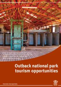
 | Ma782 Western Tourism_Aug2013DocID: 119Xb - View Document |
 | Water for life When 230,000 hectares fronting on to the last unregulated river in the Murray Darling Basin was bought for the National Reserve System, it opened the floodgates for environmental benefitsDocID: 1148b - View Document |
 | Currawinya National Park mapDocID: WhnU - View Document |
 Ma661 Sth Outback locality map_for Bp1824_Feb2012