<--- Back to Details
| First Page | Document Content | |
|---|---|---|
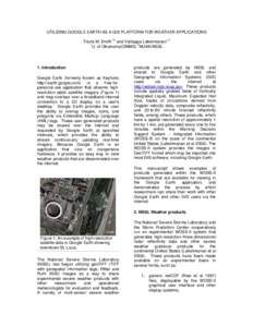 Date: 2005-11-07 12:32:19Computing Geography Data GIS file formats GIS software Keyhole Markup Language Open Geospatial Consortium Remote sensing Google Earth National Severe Storms Laboratory NetCDF |
Add to Reading List |
 | WRF-Chem Simulation of Deep Convective Transport in Different Scale Storms using Lightning Data Assimilation Yunyao Li (University of Maryland) Kenneth Pickering, Mary Barth, Megan Bela, Kristin Cummings, Dale Allen,DocID: 1rm99 - View Document |
 | MARCHGOURLEY ET AL. 437DocID: 1rhir - View Document |
 | Microsoft Word - SupinieEtal_MWR2015_singleSpace.docxDocID: 1rfCh - View Document |
 | A Unified Flash Flood Database across the United States by Jonathan J. Gourley, Yang Hong, Z achary L. Flamig, Ami Arthur, Robert Clark, Martin Calianno, Isabelle Ruin, Terry Ortel, Michael E. Wieczorek,DocID: 1rabr - View Document |
 | PDF DocumentDocID: 1r83C - View Document |
 Utilizing Google Earth as a GIS platform for weather applications