Back to Results
First PageMeta Content
Laser / Photonics / Boeing YAL-1 / Technology / Laser airborne depth sounder / Optics / LIDAR / Acronyms


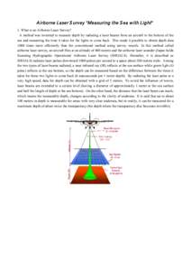
A irborne Laser S urvey "Measuring the S ea with Light" 1. What is an Airborne Laser Survey? A method was invented to measure depth by radiating a laser beams from an aircraft to the bottom of the sea and measuring the t
Add to Reading List

Document Date: 2014-07-11 05:03:09


Open Document

File Size: 510,96 KB

Share Result on Facebook

City

Hiroshima / /

Country

Japan / /

Facility

Hiroshima Air Station / /

NaturalFeature

Seto Inland Sea / /

Organization

Hydrographic and Oceanographic Department / Hydrographic and Oceanographic Department of Japan / 6th Regional Coast Guard / /

Technology

GIS / Laser / GPS / /

SocialTag