<--- Back to Details
| First Page | Document Content | |
|---|---|---|
 Date: 2010-08-23 18:23:59Rio de la Plata Caguas Puerto Rico Puerto Rico Highway 3 Puerto Rico Highway 53 Municipalities of Puerto Rico San Juan – Caguas – Guaynabo metropolitan area Río Grande de Loíza |
Add to Reading List |
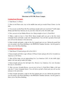
 | Directions to PUCPR, Ponce Campus Coming from Mayaguez 1. Take Route 2 to Ponce 2. Once in the Ponce area, stay in the middle lane and go towards Ponce Centro. (to the left) 3. You are now on the Ponce By-Pass and keep sDocID: 1a9uU - View Document |
 | JOHN H. CHAFEE COASTAL BARRIER RESOURCES SYSTEM PUERTO RICO AT LAN T I C OC EANDocID: Gysa - View Document |
 | Floods of September 6, 1 960, in Eastern Puerto Rico GEOLOGICAL SURVEY CIRCULAR 451DocID: pXg0 - View Document |
 Floods of September 6, 1 960, in Eastern Puerto Rico GEOLOGICAL SURVEY CIRCULAR 451