<--- Back to Details
| First Page | Document Content | |
|---|---|---|
 Date: 2012-03-20 16:01:34Forest of Bowland Civil parishes in Lancashire Royd Slaidburn Hebden Bridge Hebden North Yorkshire Luddenden Midgley West Yorkshire Geography of England Counties of England Lancashire |
Add to Reading List |
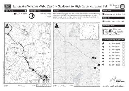
 | Lancashire Witches Walk: Day 5 – Slaidburn to High Salter via Salter Fell Start Point Distance/ Time Tercet FiveDocID: 1tatw - View Document |
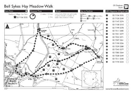
 | Bell Sykes Hay Meadow Walk Start Point Distance/Time Slaidburn Village Car ParkDocID: 1t9Oo - View Document |
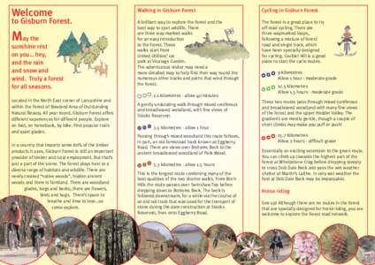
 | Welcome to Gisburn Forest. May the sunshine restDocID: 1gDld - View Document |
 | Photographs ▲▼ © Countryside Agency / Charlie Hedley By Road: Slaidburn is on the B6478 road approximately 9 miles from Clitheroe. It can also be reached from the A65 road that runs from Skipton to Kirkby LonsdaleDocID: 1fJxC - View Document |
 | OS Explorer OL41 Slaidburn to Dunsop Bridge Start PointDocID: 1eY5B - View Document |
 YORKSHIRE VERNACULAR BUILDINGS STUDY GROUP www.yvbsg.org.uk Newsheet No 52