| Document Date: 2011-12-01 15:23:47
Open Document File Size: 4,16 MBShare Result on Facebook
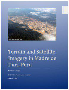
City Madre de Dios / / Country United States / Peru / / IndustryTerm multi-temporal satellite imagery / gold mining / mining / river systems / satellite image / large mining area / satellite imagery / / NaturalFeature Puquiri River / / Organization Ministry of the Environment / National Aeronautics and Space Administration / Madre / Peruvian government / / Person Katherine Lininger / Rhett Butler / / Position Marshall / / URL /mongabay.com / http /
SocialTag |

