<--- Back to Details
| First Page | Document Content | |
|---|---|---|
 Date: 2013-08-01 04:35:09Computing Comparison of Vector Formats MapInfo Interchange Format GIS file formats Shapefile MapInfo |
Add to Reading List |
 Geography Guidance Converting Shapefiles to MapInfo format If you are a MapInfo user, it is possible to load the ESRI shapefiles for use or to transform them yourself. This can be done in 2 ways. Using the menu option Fi
 | www.datem.com l World-Class Digital Photogrammetric Workstation www.datem.com/summitDocID: 1qF8A - View Document |
 | Microsoft Word - Ocean SAMP GIS Standards.docDocID: 1qmSM - View Document |
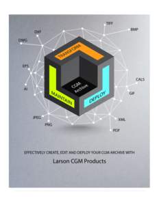 | Table of Contents _________________________________________________ Background ______________________________________________________ 1 The Case for a CGM Archive _________________________________________ 3 OPEN STANDARDocID: 18TSg - View Document |
 | Digital Graphics Primer Vector Graphics, Raster Graphics, and Their Associated Image File Types AI PSDDocID: 18QR1 - View Document |
 | Nanosurf Lithography Option Transform Your AFM/STM into a Surface Manipulation Tool Design ExecuteDocID: 18wEA - View Document |