<--- Back to Details
| First Page | Document Content | |
|---|---|---|
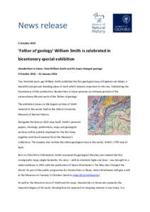 Date: 2015-10-15 06:45:48Somerset coalfield William Smith Geologic map Churchill Oxfordshire Geology Geography of England Counties of England England |
Add to Reading List |
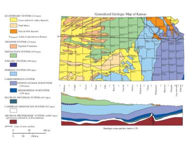 | Generalized Geologic Map of Kansas QUATERNARY SYSTEM (2.6 mya) CheyenneDocID: 1vdQV - View Document |
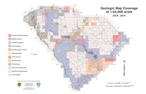 | Geologic Map Coverage Tabl Sz18-19DocID: 1v8Jo - View Document |
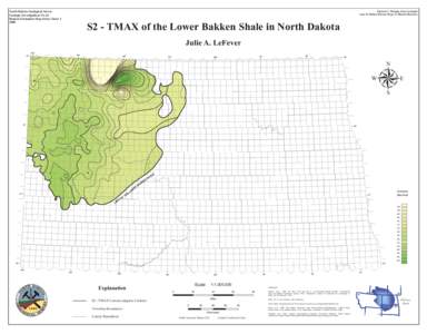 | North Dakota Geological Survey Geologic Investigations No. 63 Bakken Formation Map Series: SheetEdward C. Murphy, State GeologistDocID: 1ugMT - View Document |
 | IDAHO GEOLOGICAL SURVEY MOSCOW-BOISE-POCATELLO GEOLOGIC MAP 26 RODGERS AND OTHBERG Sheet 1 of 2 sheetsDocID: 1saxf - View Document |
 | Page-size Geologic Map of WashingtonDocID: 1rYye - View Document |
 News release 5 October 2015 ‘Father of geology’ William Smith is celebrated in bicentenary special exhibition Handwritten in Stone: How William Smith and his maps changed geology