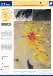
 Date: 2014-12-23 07:57:25United Nations Institute for Training and Research UNOSAT Technology Greater Upper Nile Internally displaced person Melut Upper Nile OpenStreetMap Cartography Geography UNESCO | |  This map illustrates IDP settlements in Melut, Upper Nile State, South Sudan. Using highresolution imagery optical satellite imagery collected by the WorldView-3 satellite on 2 December 2014, UNOSAT located 3,587 IDP str This map illustrates IDP settlements in Melut, Upper Nile State, South Sudan. Using highresolution imagery optical satellite imagery collected by the WorldView-3 satellite on 2 December 2014, UNOSAT located 3,587 IDP str
Add to Reading ListSource URL: unosat-maps.web.cern.chDownload Document from Source Website File Size: 3,07 MBShare Document on Facebook
|


 This map illustrates IDP settlements in Melut, Upper Nile State, South Sudan. Using highresolution imagery optical satellite imagery collected by the WorldView-3 satellite on 2 December 2014, UNOSAT located 3,587 IDP str